Student’s research projects at Kirkjubæjarskóli
Katla Geopark and Kirkjubæjarskóli School recently launched two research projects for the school's students: one for the middle level and another for the senior level.
The project involving the senior level began last autumn and focuses on mapping erosion caused by the Skaftá River in and around the town of Kirkjubæjarklaustur. Students have already captured drone imagery of the river channel in both autumn and spring, and during the upcoming school year, they will begin analyzing the images they have collected.
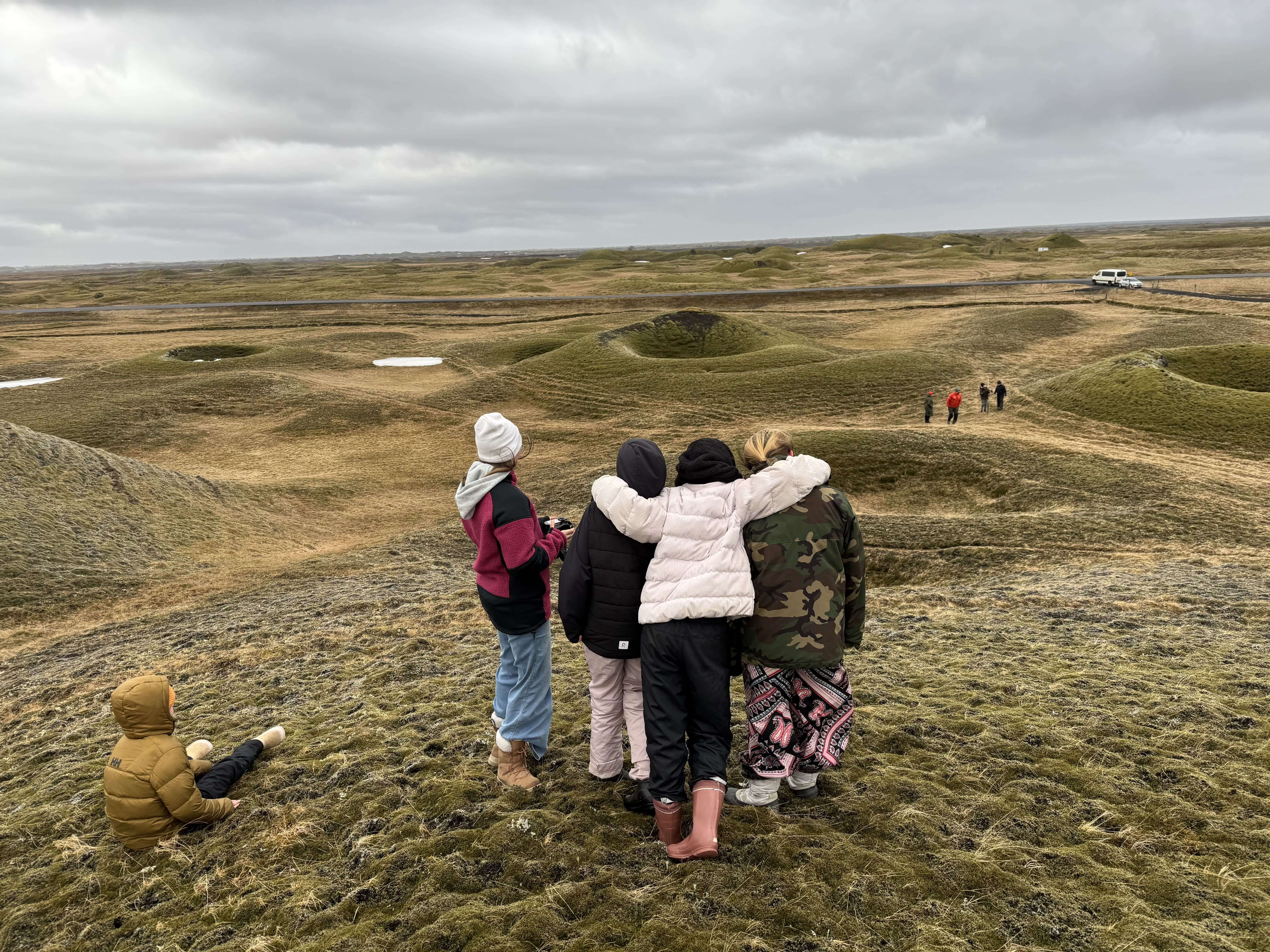
Meanwhile, the middle-level students will map the Landbrotshólar rootless cone field over the coming years, utilizing both drone imagery and GPS measurements. Measurements will be taken over the next few years and then once the students reach the senior level, they will process the data they collected from the cone field, for instance, by creating maps of the surveyed areas. The middle-level students recently went out to measure the first cones, but unfortunately the weather was to bad to fly the drone.
Katla Geopark wishes to thank Kirkjubæjarskóli and its students for this enjoyable collaboration, and we look forward to continuing this research in the years ahead.